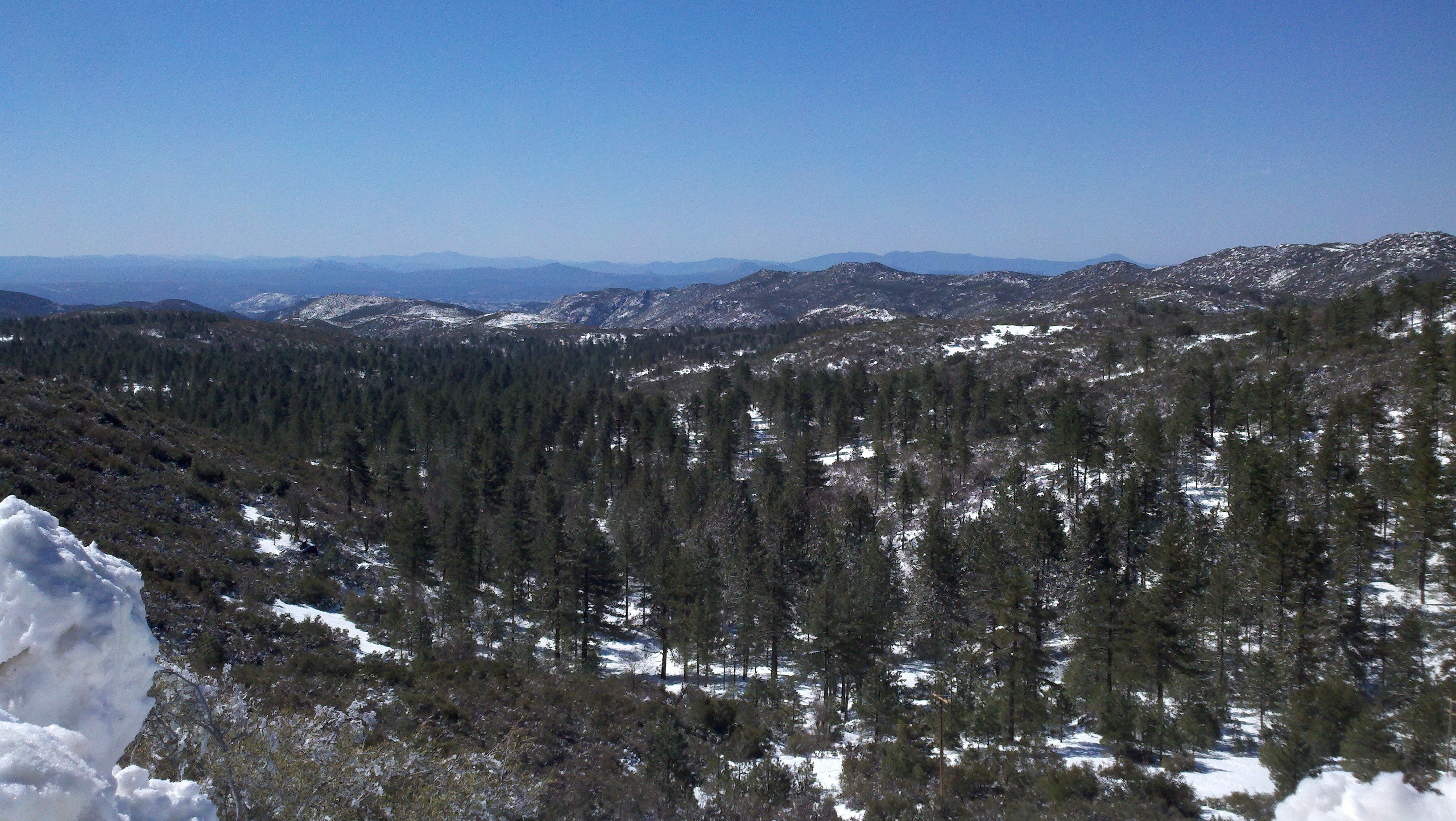
Photo Credit: Emily Perkins, SDMMP
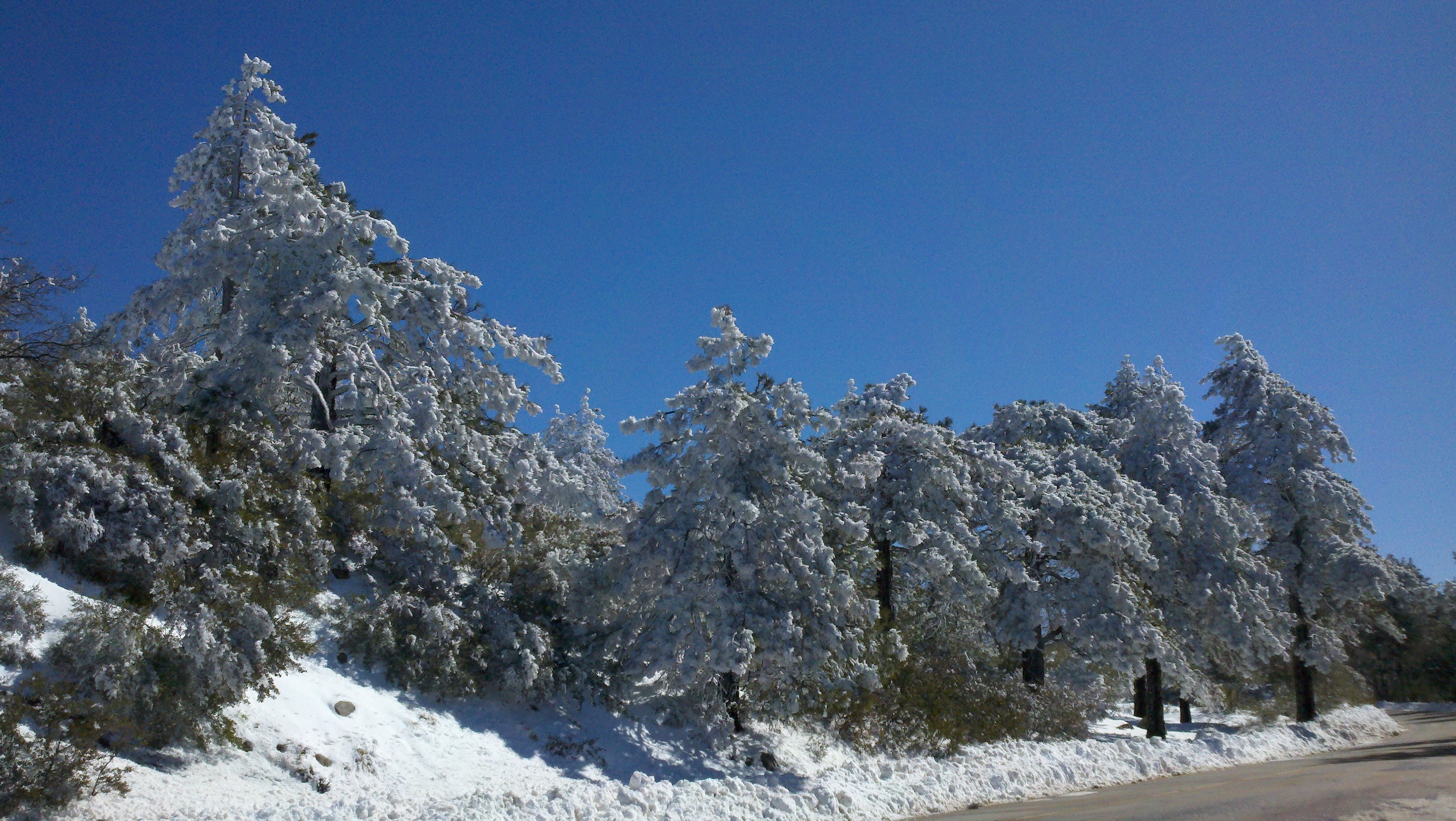
Photo Credit: Emily Perkins, SDMMP
|
Vegetation Mapping 2026
The goal of this project is to create a new vegetation map for the western portion of San Diego County. This will be based on the Vegetation Classification Manual hierarchical classification system. The map will consist of a group-level comprehensive map based on satellite remote sensing and an alliance/association map focused on existing preserves or important resources.
|
| File name | Lead Author | Year | Type |
|---|---|---|---|
| Feral Pig Distribution Survey Report | 2010 | report | |
| Final Rule to Remove the American Peregrine Falcon from the Federal List of Endangered and Threatened Wildlife, and to Remove the Similarity of Appearance Provision for Free-Flying Peregrines in the Conterminous United States. | USFWS | 1999 | report |
| Southern California Mountains and Foothills Assessment | U.S. Forest Service | 1999 | report |
| Vegetation Mapping Western San Diego 2012 | Oberbauer, Thomas; Sproul, Fred; Dunn, Jonathan; Woolley, L. | GIS data | |
| WINTER ECOLOGY OF THE NORTH AMERICAN BADGER (TAXIDEA TAXUS JEFFERSONII) IN THE CARIBOO REGION OF BRITISH COLUMBIA | Symes, Stephen | 2013 | report |